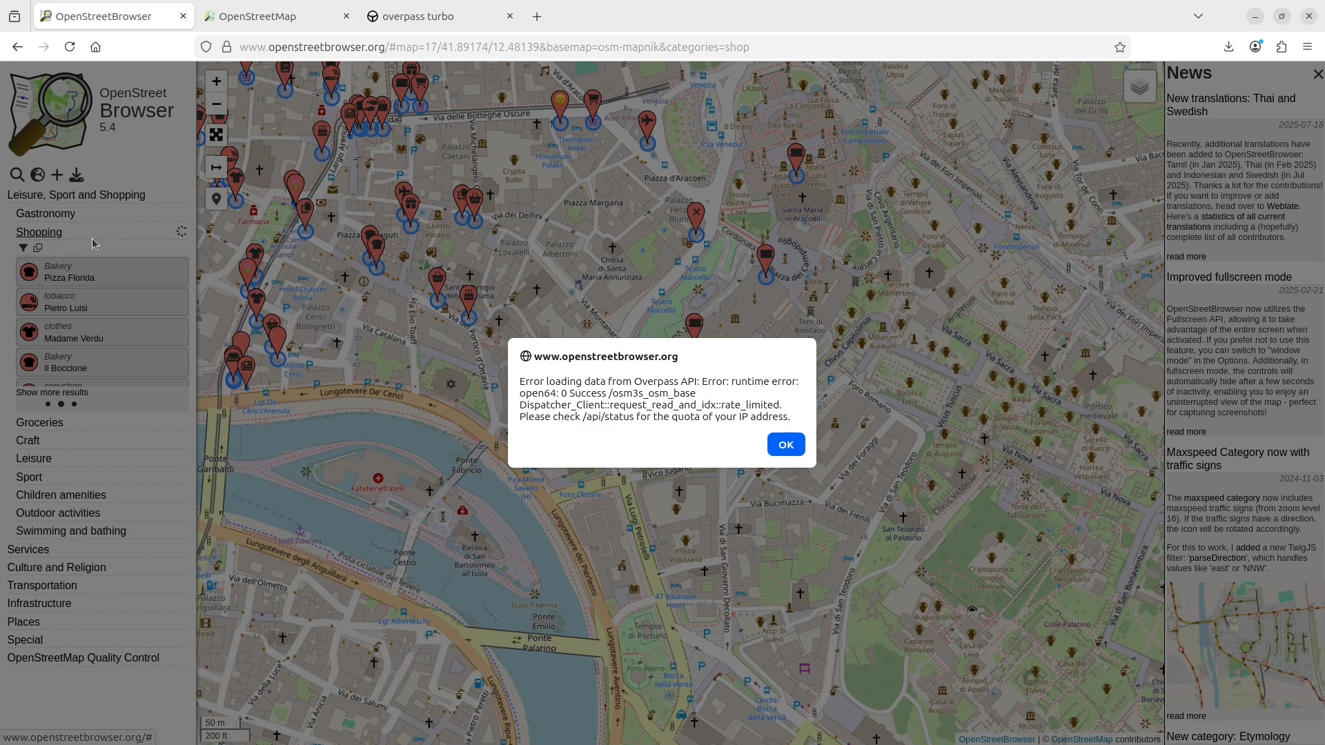
OpenStreet Browser
5.4
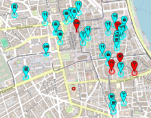
The current heat wave in Europe (and Amᵃᵖanda) inspired a really "cool" category: Air conditioning. This special category lists all entered map features which have an air_conditioning tag, whether positive (icy blue) or negative (hot red).
 read more
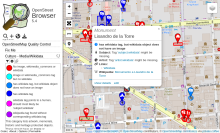
The "Culture - Media/Wikidata" category in the "OpenStreetMap Quality Control" section now checks for references for subject, artist, architect and name etymology (when appropriate).
For my personal blog, I wrote an article some time ago, where I explained how to map memorials and artwork with references to wikidata and wikimedia commons.
 read more
Recently, additional translations have been added to OpenStreetBrowser: Tamil (in Jan 2025), Thai (in Feb 2025) and Indonesian and Swedish (in Jul 2025). Thanks a lot for the contributions! If you want to improve or add translations, head over to Weblate. Here's a statistics of all current translations including a (hopefully) complete list of all contributors.
read more